
Together…
We Can Build An Opposition Map
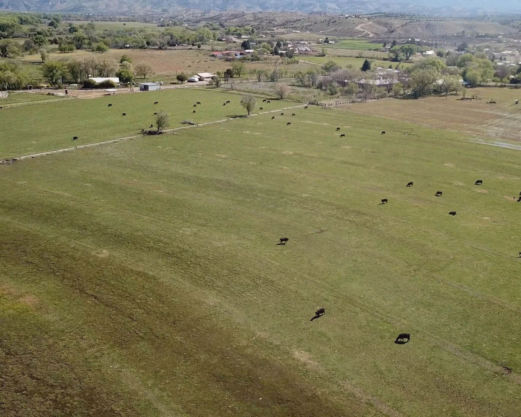
The map will have details of all man-made structures along the designated Gila River Systems and Southwest New Mexico. We feel this legislation will affect all citizens, regardless of whether you are located on a designated river segment or reside elsewhere in Southwest New Mexico. This legislation WILL control your water. This WILL affect your life and property values. Send us your information today- TOGETHER…we have a voice.
“When the well’s dry, we know the worth of water”
We Need Details...
EMAIL YOUR INFORMATION
Include in your email:
*Name of Property Owner
*Telephone Number
*Physical Address
*Area (Acres)
*Photos and a List of All Man-made Structures
*Historical Information
All Man-made Structures…
SEND US PHOTOS OF YOUR:
Wells, Pipelines, Irrigation; Ditches/Diversions, Dams, Storage Tanks, Fences, Corrals, Stock Tanks, Concrete Troughs, Natural Spring Developments, Water Troughs, Water Rights, Barns, Homes- we want it. If it is Historical- send us that information.
